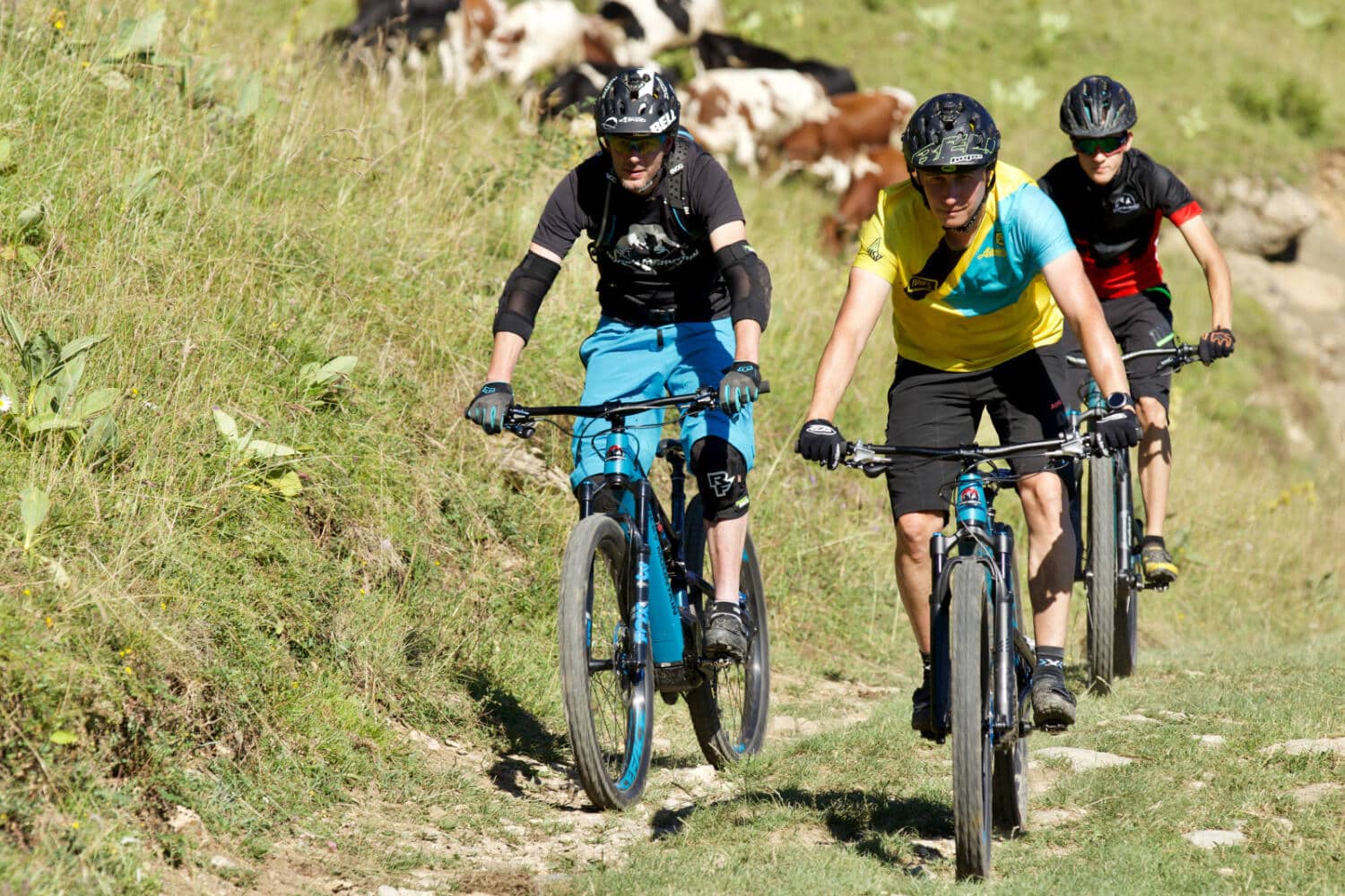
Alpine bike (SuisseMobile n°1)
<p>Explore Pays-d’Enhaut by bike along the marked SuisseMobile Route no. 1. A 29 km ride combining climbs, descents and stunning alpine views.</p>
Longueur : 29
Durée : 4h55
Dénivelé + : 1511.2
Dénivelé - : 1143.61
Point le plus haut : 1613
Point le plus bas : 888
The Alpine Bike route, signposted as SuisseMobile no. 1, invites you to discover the spectacular landscapes of Pays-d’Enhaut on two wheels. Covering 29 kilometres, the itinerary includes 1511 metres of ascent and 1144 metres of descent, with a riding time of around 4 hours and 55 minutes.
Along the way, you cycle through cool forests, open alpine pastures and panoramic ridgelines. This section brings together parts of stages 15 and 16 of the renowned Alpine Bike 1 route linking Scuol to Aigle, one of the longest cross-country MTB routes in Switzerland. It offers a true taste of alpine adventure in Pays-d’Enhaut.
Designed for riders with good fitness, the route alternates between demanding climbs and flowing sections. Thanks to clear SuisseMobile signposting, navigation is straightforward and stress-free.
<p><strong>Distance</strong></p> <p>29 km, perfect for a sporty half-day ride.</p> <p><strong>Duration</strong></p> <p>Around 4 hours and 55 minutes depending on your pace.</p> <p><strong>Elevation gain and loss</strong></p> <p>1511 m ascent and 1144 m descent.</p> <p><strong>Highest and lowest points</strong></p> <p>Highest point at 1613 m, lowest point at 888 m.</p> <p><strong>Signposting</strong></p> <p>Fully marked as SuisseMobile Route no. 1.</p>